Vatnajökull National Park
Ice cap, sandur, and two visitor nodes: Skaftafell and Jökulsárlón. North-unit Dettifoss is a later sheet.
Maps
Park overview first. Corridor sheets add planning detail where they exist.
Park overview (Map 1)
Full map / print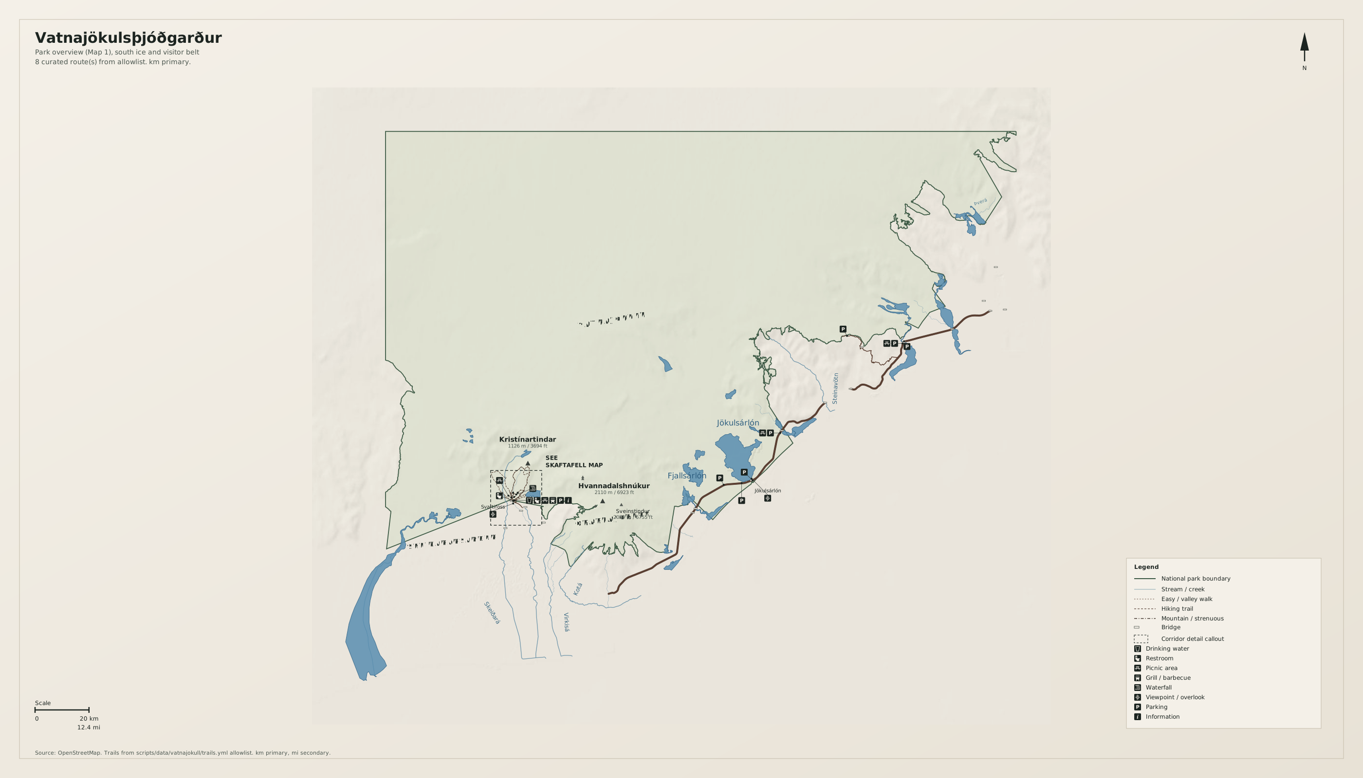
Skaftafell corridor (Map 2)
Full map / print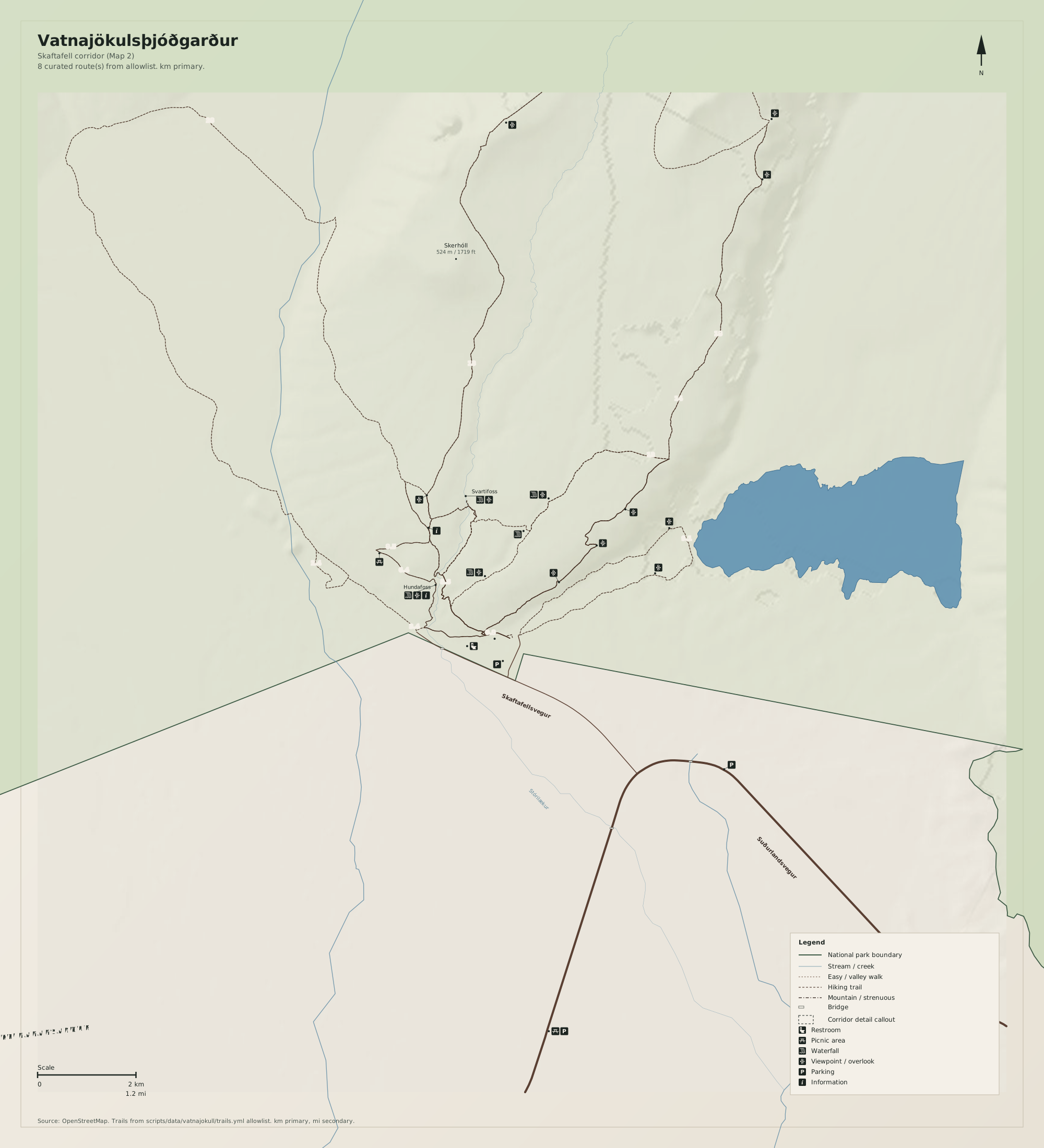
Overview
Vatnajökulsþjóðgarður on this sheet is the Glacier Bay analog: ice, one or two hubs, empty interior. The legal park is larger (north canyon unit later).
Use Icelandic toponyms as on the ground. Distances on the map are kilometres first, miles second.
Natural highlights
What is worth seeing on foot. Elevations in meters (and feet on the map).
Hvannadalshnúkur · 2110 m
Highest summit in Iceland, on Öræfajökull. Glacier ascent; not a valley walk. Map 1 marks the ice, not a route.
Jökulsárlón
Glacier lagoon at the ring road. The usual first stop. Icebergs change; the viewpoint is the planning destination.
Svartifoss
Basalt-column fall in Skaftafell. Short signed walk from the visitor hub. The dashed frame is this cluster.
Trailheads & parking
Where to leave the car (or bus) to get close to what you want to see.
Skaftafell
Paid lots at the visitor centre. Start of Svartifoss and Kristínartindar walks.
Jökulsárlón
Lots at the lagoon. Stay off the ice. Boat tours are omitted from this sheet.
Höfn
Town parking east of the ice. Gateway, not a trailhead.
Trails
Distances are useful order-of-magnitude figures for planning, not survey-grade GPS tracks.
Svartifoss walk (allowlist review)
Along the way: Svartifoss
The Map 1 corridor. Kristínartindar is a longer ridge walk from the same hub.
Getting there
Ring road (Route 1) along the south edge. The ice interior is empty of badges on purpose. Dettifoss / Ásbyrgi are not on this sheet.
By car
Route 1 from Reykjavík or Höfn. Distances are long; fuel in Kirkjubæjarklaustur or Höfn.
By transit
Seasonal buses along Route 1. Thin in winter.
Parking
Skaftafell and Jökulsárlón lots fill in high summer. Do not drive onto the sandur.
Intentionally left off
European tourism sites push these hard. This map does not, so the nature signal stays readable.
- Ice-cave and lagoon-boat product maps
- Glacier-hike outfitter topos
- The north unit (Dettifoss, Ásbyrgi, Jökulsárgljúfur)