Saxon Switzerland National Park
Elbe sandstone towers and gorges: Bastei, Schrammsteine, and a small-park sheet that can name trails.
Maps
Park overview first. Corridor sheets add planning detail where they exist.
Park overview (Map 1)
Full map / print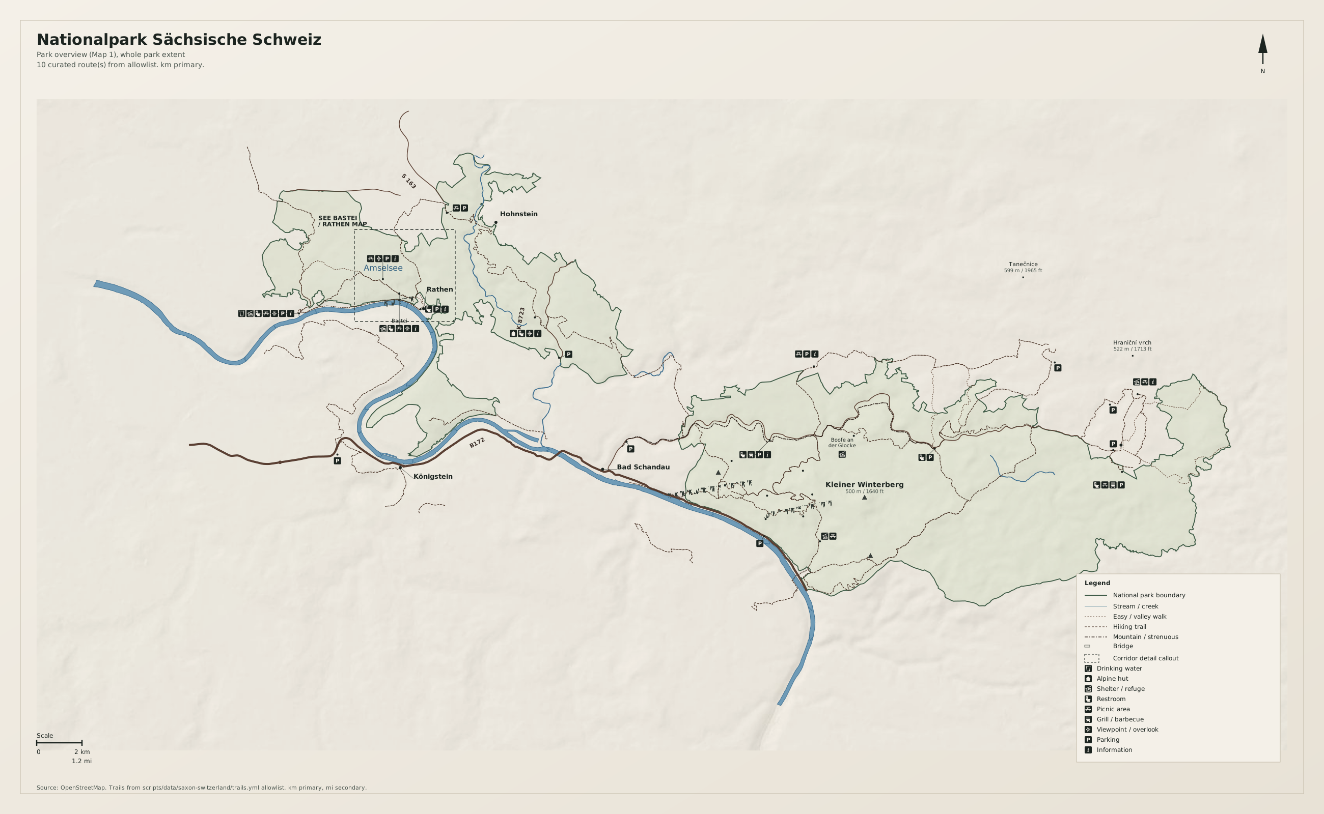
Bastei / Rathen corridor (Map 2)
Full map / print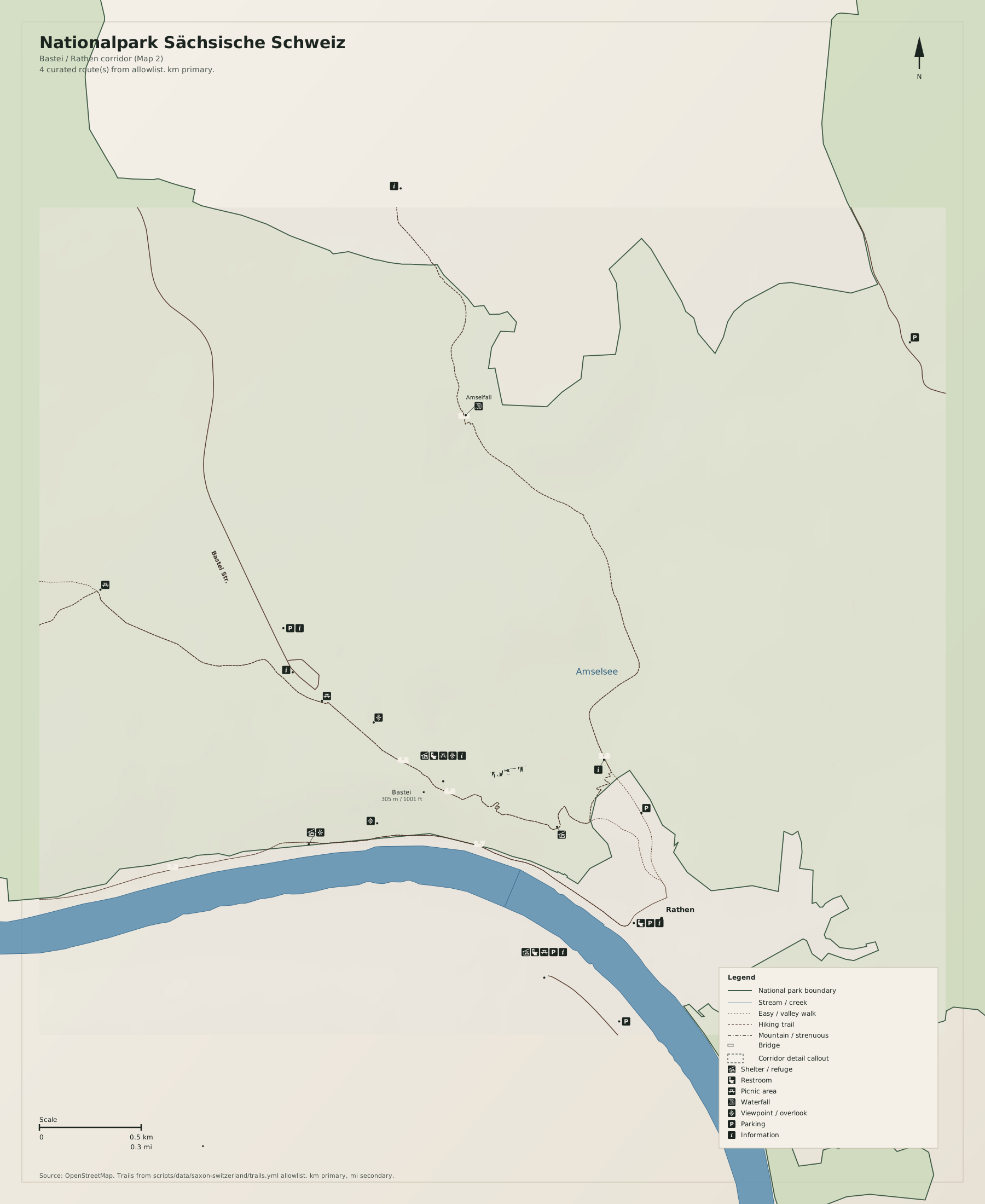
Overview
Nationalpark Sächsische Schweiz is the Pinnacles analog: small enough to name trails, busy at one overlook, empty a kilometre into the towers.
Use German toponyms as on the ground. Distances on the map are kilometres first, miles second.
Natural highlights
What is worth seeing on foot. Elevations in meters (and feet on the map).
Bastei
Sandstone bridge and Elbe overlook above Rathen. The busiest node. The dashed frame is this cluster.
Schrammsteine
Tower group east of Bad Schandau. Hiking and climbing; this sheet is not a climbing topo.
Großer Winterberg · 556 m
Highest point in the German park. Forest summit, not an alpine horn.
Trailheads & parking
Where to leave the car (or bus) to get close to what you want to see.
Rathen / Bastei
Valley lots in Rathen and paid lots toward the Bastei. The bridge is crowded by mid-morning.
Bad Schandau
Town lots; ferry and Kirnitzschtalbahn are logistics, not the park.
Hinterhermsdorf
Village lots at the east end for Kirnitzsch gorge walks.
Trails
Distances are useful order-of-magnitude figures for planning, not survey-grade GPS tracks.
Malerweg (allowlist review)
Along the way: Bastei, Schrammsteine
Long-distance painter's trail. Map 1 may show a snippet, not all stages. Not a climbing route.
Bastei loop
Along the way: Bastei
The Map 1 corridor. Expect crowds; go early.
Getting there
Elbe towns (Rathen, Königstein, Bad Schandau) are the gates. The park is two sandstone lobes, not one hill.
By car
A17 / B172 into the Elbe valley. Do not park on forest tracks.
By transit
S-Bahn to Kurort Rathen, Königstein, or Bad Schandau from Dresden. Best access for Bastei.
Parking
Bastei lots fill. Train to Rathen is the reliable plan on fair weekends.
Intentionally left off
European tourism sites push these hard. This map does not, so the nature signal stays readable.
- Climbing topos and bolted-route inventories
- Königstein fortress ticket marketing (neighbour, not the national park)
- Elbe paddle-steamer product maps