Écrins National Park
High Dauphiné granite and ice: Barre des Écrins, valley towns, and a core-park overview (not the huge buffer zone).
Maps
Park overview first. Corridor sheets add planning detail where they exist.
Park overview (Map 1)
Full map / print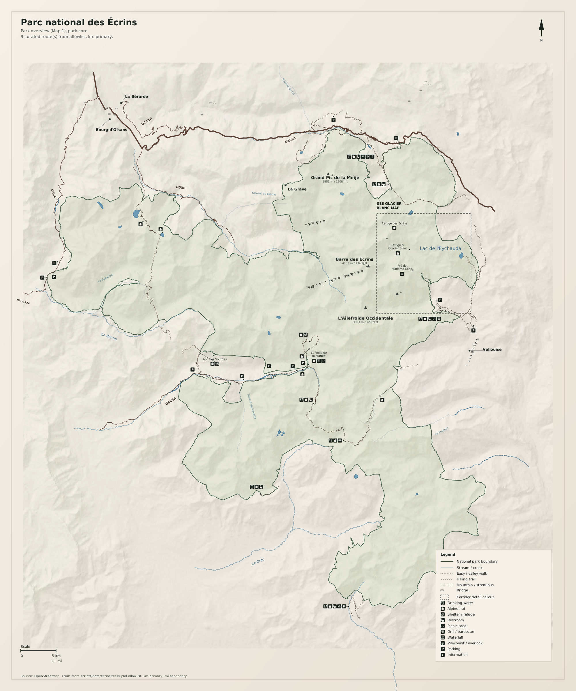
Glacier Blanc / Pré de Madame Carle (Map 2)
Full map / print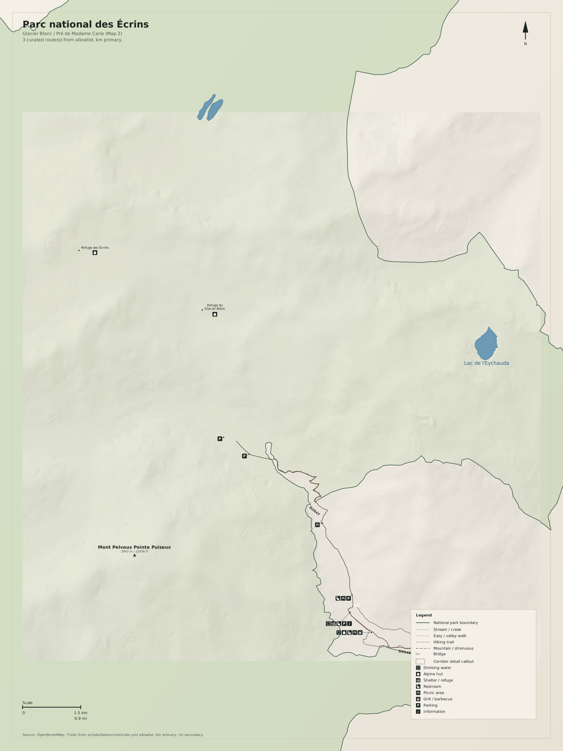
Overview
Parc national des Écrins on this site is the core, in the Rainier / Glacier sense: one massif, a few valley towns, empty ice. The dashed frame is Glacier Blanc.
Use French toponyms as on the ground. Distances on the map are kilometres first, miles second.
Natural highlights
What is worth seeing on foot. Elevations in meters (and feet on the map).
Barre des Écrins · 4102 m
Highest summit in the massif. Glacier approaches; not a valley walk. The visitor overview is Pré de Madame Carle and the Glacier Blanc corridor.
La Meije · 3983 m
North wall above La Grave. Serious alpine terrain.
Glacier Blanc
East-side glacier above Vallouise. Road-end at Pré de Madame Carle is the Map 1 dashed frame.
Trailheads & parking
Where to leave the car (or bus) to get close to what you want to see.
Pré de Madame Carle
Paid lot at the road-end above Ailefroide. Seasonal road. Arrive early.
La Bérarde
Village lot at the Vénéon road-end. Seasonal.
La Grave
Village parking. The Meije is a look, not a cable-car product on this sheet.
Trails
Distances are useful order-of-magnitude figures for planning, not survey-grade GPS tracks.
Glacier Blanc approach (allowlist review)
Along the way: Glacier Blanc, Barre des Écrins
Map 1 spine toward Refuge du Glacier Blanc / Écrins. Not a tourist promenade.
Getting there
Three valley heads (Vallouise, Vénéon, Romanche/La Grave). Do not plan to walk the crest between them on Map 1.
By car
N94 / D994 to Briançon then D994E to Vallouise; D1091 over Lautaret for La Grave; D530 to La Bérarde (seasonal).
By transit
TER to Briançon or Grenoble, then seasonal buses up the valleys. Confirm current lines.
Parking
Pré de Madame Carle fills on fair summer days. Valley roads are not winter-proof.
Intentionally left off
European tourism sites push these hard. This map does not, so the nature signal stays readable.
- Ski domaines and summer glacier-lift marketing
- The huge aire d'adhésion (this sheet is the cœur)
- Every refuge in the massif (Map 1 names hub huts only)