Dolomiti Bellunesi National Park
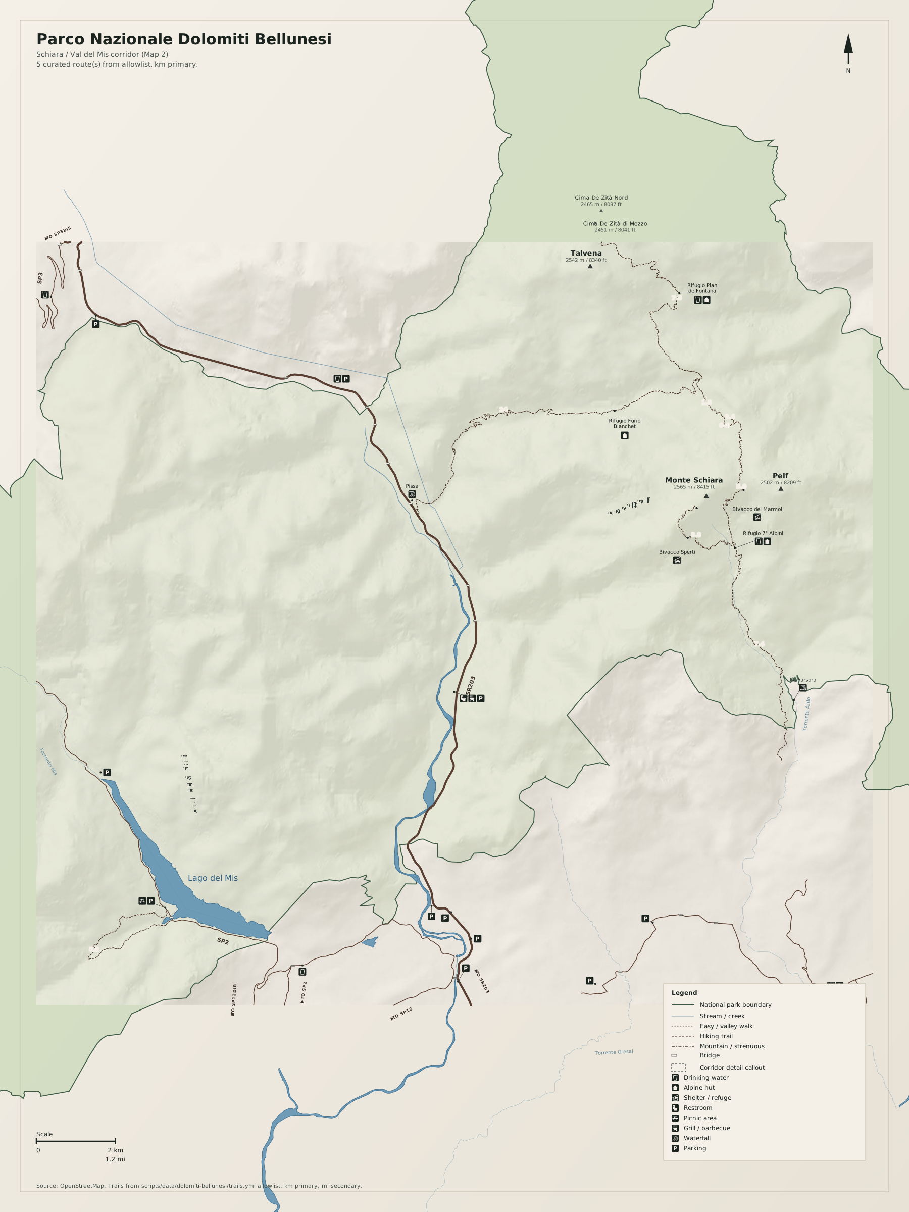
© OpenStreetMap contributors, available under theOpen Database License (ODbL). Relief fromMapzen Terrain Tiles(Copernicus EU-DEM for Europe; the same tiles also draw on SRTM, GMTED2010, and ETOPO1,full credit). Icons from theU.S. National Park Service Symbol Library(public domain).